I’ve written before about arbitrary lines on maps, and there are few better examples than the watershed of the Dangrek Mountains.
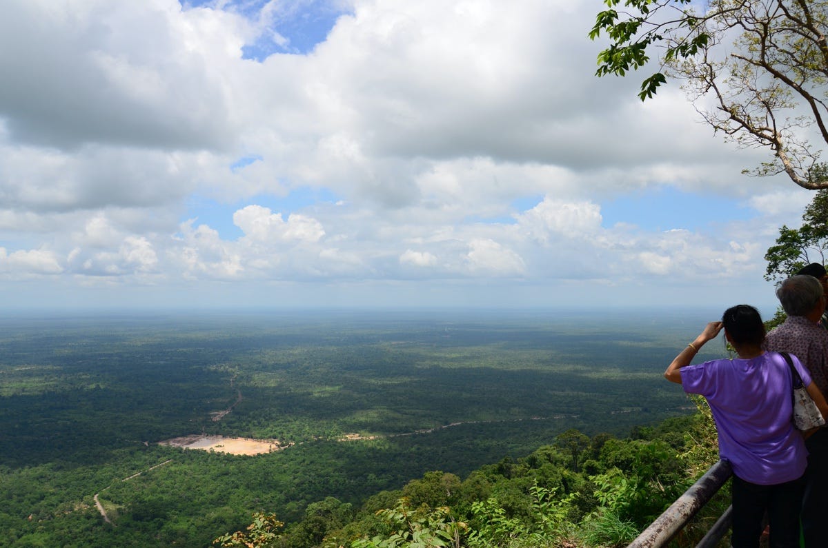
The range forms much of Cambodia’s northern frontier with Thailand. On the Khmer side it is characterised by a steep escarpment, while on the Thai side it is more of a gentle slope. Much remains heavily forested.


